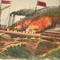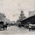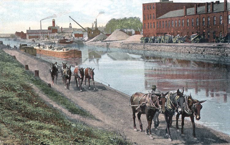
Familiar postcard view of the Canal on the west side of Buffalo, c. 1890. Image source: private collection.
The canal boat in the image above is nearing the Pitts Agricultural complex, a major Buffalo manufacturer. Completed threshers can be seen lined along the canal-side of the plant.
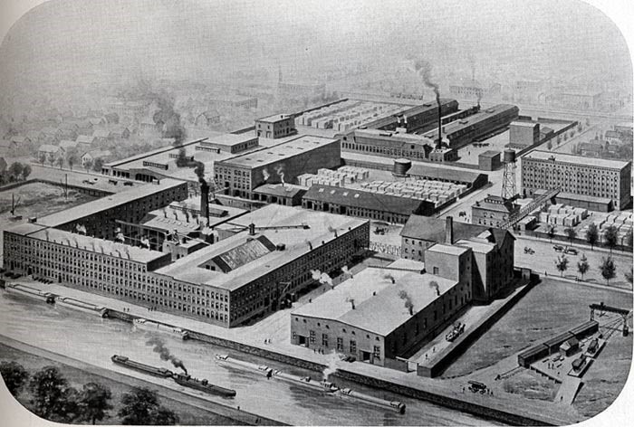
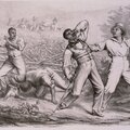
Birds-eye view of the Pitts complex along the canal, c. 1890. Image source: private collection
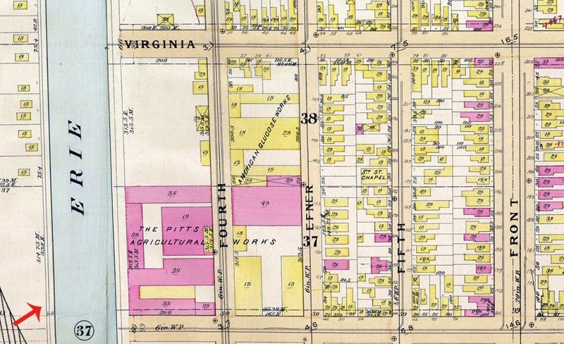
From the 1894 Buffalo City Atlas. Carolina Street runs across the bottom of the image. What is labeled "Front" Street is today called Niagara Street.
The photo used to make the postcard image above would have been taken from the vantage indicated by the red arrow.
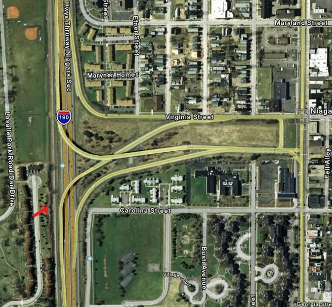
From Google Maps
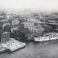
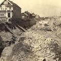
A modern view of the same area shows that the canal bed is occupied by the Thruway and the Pitts complex location is now the Niagara Street exit from the Thruway. The red arrow indicates the approximate vantage of the original photographer.
For more information on the Buffalo Pitts Company, see the Fall 2004 issue of Western New York Heritage